Engineering consultancy & technical training • Libya
Spatial intelligence.
Water expertise.
Solutions that endure.
Al Roaya Al Makanya - The Spatial Vision - brings geospatial technologies, water resources, environmental management and resilient infrastructure together in one multidisciplinary consultancy.
2015Established
300+Professionals trained
15+Highlighted assignments

GIS • Water • EnvironmentIntegrated engineering intelligence
Scroll to explore
GIS & MappingRemote SensingGroundwaterHydrologyWater GovernanceDigital Transformation

Accredited byLibyan Engineering Professions Syndicate
About the company
A Libyan consultancy built around place, water and evidence.
Al Roaya Al Makanya (Arabic: الرؤية المكانية), meaning “The Spatial Vision,” is a Libyan consultancy and training company established in 2015. We specialize in geospatial technologies, water resources, environmental management, and infrastructure development.
Accredited by the Libyan Engineering Professions Syndicate, we deliver expert-driven solutions to government agencies, municipalities, NGOs, development partners and private-sector clients across Libya. Our work combines field knowledge, spatial analysis, engineering design, data management and capacity building to support sustainable development.
License No. 46550124Accredited engineering consultancy
MultidisciplinaryEngineering, GIS, water, environment and digital systems.
Capacity focusedTraining and institutional strengthening are embedded in our work.
Sustainability drivenPractical solutions designed for Libya's environmental context.
Direction
Vision & Mission
Our long-term direction and the operating purpose behind every assignment.
Lead with geospatial intelligence and sustainable engineering.
To be a leading Libyan engineering consultancy and training firm that pioneers the use of geospatial intelligence, sustainable water and environmental management, and innovative infrastructure solutions, empowering communities and institutions toward a more resilient, environmentally responsible, and sustainable future.
Deliver high-quality, innovative and cost-effective solutions.
To deliver high-quality, innovative, and cost-effective engineering consultancy and training services in the fields of geospatial technologies, water resources, environmental management, and infrastructure development. We are committed to empowering professionals, institutions, and communities across Libya by providing solutions that promote sustainability, resilience, and environmental responsibility.
Our services
Technical depth across the full project cycle.
Consultancy, design, field assessment, data systems and capacity building - connected through a shared spatial and water-resource perspective.
 GIS MappingSpatial data and decision-support mapping
 Remote SensingSatellite interpretation and terrain analysis
 Water ResourcesAquifers, planning and water security
 HydrologyWatersheds, floods and hydrological models
Geospatial Technology
GIS mapping, spatial data analysis, remote sensing and satellite image processing, web-based GIS platforms, spatial data infrastructures (SDI), custom geospatial applications and decision-support tools for government agencies, municipalities and development projects.
Water Resources & Environmental
Groundwater exploration, aquifer assessments, hydrogeological modeling and monitoring, flood-risk assessment, rainwater-harvesting systems, water-quality testing, pollution-control strategies, and Environmental Impact Assessments (EIA).
Infrastructure & Utility Systems
Planning and supervision of resilient water and utility infrastructure, water-supply and sewer networks, pumping stations, storage tanks, urban drainage, flood-control systems and rural water infrastructure.
Engineering Training & Capacity Building
Professional programs in civil and environmental engineering, GIS and remote sensing, water-resource management, statistical analysis, data literacy and project management, with an emphasis on practical skills and institutional capability.
Water & Environment Policy Management
Support for water governance, institutional coordination, policy development, stakeholder engagement and management frameworks that strengthen the sustainable stewardship of water and environmental resources.
Data Science & Artificial Intelligence
Predictive modeling, machine learning, advanced analytics, automated remote-sensing analysis and AI-enabled decision-support tools for water, infrastructure and environmental monitoring.

One integrated view
From field observation to spatial intelligence to implementation.
Track record
Projects & business achievements 2015-2026
Selected assignments spanning water, GIS, hydrology, environment, infrastructure, training and digital transformation.
15highlighted assignments
 Maps, models & spatial outputs from our project record
How we work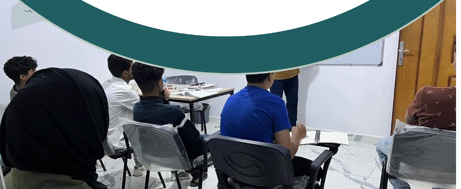
A structured, collaborative path from diagnosis to ownership.
Our work is guided by a structured and collaborative approach to ensure impact, sustainability and precision in every project we deliver.
Understand & Diagnose
We listen carefully to clients and stakeholders. Through field visits, consultations and data review, we assess the technical, environmental and institutional context to understand challenges and opportunities fully.
Design & Customize Solutions
Using a multidisciplinary team and a data-driven process, we develop tailored engineering, geospatial and environmental solutions aligned with local needs and international standards, with sustainability and implementation feasibility built in.
Implement, Monitor & Empower
We move from design to action with on-ground implementation support, monitoring systems and training - enabling institutions and communities to manage and maintain solutions effectively.
Our creative team
Specialists across water, GIS, environment, governance and digital systems.
Meet the multidisciplinary team presented in the current Al Roaya company profile.
Get in touchBring us the challenge.
Bring us the challenge.
We’ll help turn it into a workable solution.
We’re here to support your projects with innovative solutions and expert guidance. Whether you’re planning a new initiative, need technical support, or want to explore collaboration, contact us to start your project.
Phone+218 91 750 4612
Phone+218 92 718 2453
Emailinfo@alroaya.net
Websitewww.alroaya.net
AddressRabat St, Al Bayda, Libya • QP6V+9F Al Bayda

 A decade of impact
2015-2026